
About Rinato Space
Built in Zambia. Operating since 2021.
Rinato Space is a Zambian satellite intelligence company. We map the landscapes institutions work on, train the people who run their programmes, and monitor change across thousands of sites through RX AI, our continuous monitoring platform. Same operating team, working continuously since 2021, first as Ignitos Space, registered as Rinato Space in 2024.
What we are
A systems company, not a satellite vendor or a consultancy.
Rinato combines satellite intelligence, domain expertise, and institutional integration. The work spans three layers: mapping and analysis at programme scale, continuous monitoring through RX AI, and capacity building so capability stays in-country after engagements end.
Our Story
From Ignitos to Rinato. Same team, same problem, sharper system.
The team that runs Rinato today started this work in 2021 under the name Ignitos Space. The problem we set out to solve has not changed. Satellite data alone does not produce decisions. Institutions running landscape, restoration, and agricultural programmes across Africa needed a system that could turn continuous Earth observation into operational evidence, and that the people running the programme could actually use. That is what we have been building.
2021. Founding context
Started in Zambia as Ignitos Space, with a clear thesis: national-scale landscape programmes needed a practical intelligence layer, not more disconnected satellite outputs. Early consortium work connected government partners, field realities, and the longer ambition of Zambia operating sovereign space infrastructure with Rinato building the decision layer institutions could use today.
2024. Registered as Rinato Space
Continuity of team, sharper identity, formal incorporation as Rinato Space. The Zambian footing, the institutional relationships, and the operating discipline carried straight through. The work after registration looks the same as the work before it, by design.
2025. RX AI operational
RX AI, our continuous monitoring platform, reached continuous operation in 2025, now monitoring roughly 2,700 sites through WorldVision’s Farmer Managed Natural Regeneration programme. The years between founding and the platform were spent building the institutional access, the domain logic, and the field experience that the platform now runs on.
What Rinato Does
Three layers. One system.
Rinato is not a software vendor and not a consulting firm. The work combines satellite intelligence, agronomic and ecological domain knowledge, and the operational discipline required to deploy systems inside ministries, NGOs, and donor-funded programmes.
Mapping and analysis at programme scale
Sentinel-2 optical imagery, weather data, and site context turned into structured, site-level evidence for institutions managing land at scale. The 32,564 hectares we mapped under WorldVision’s Youth Innovation Project is the unit of work here.
Continuous monitoring through RX AI
A platform that returns a per-site verdict and ranked recommendations across thousands of sites, refreshed continuously. It computes 39 data layers per site: 13 Sentinel-2 indices, 11 weather and climate variables, and 15 derived field-health metrics. Seven verdicts per site, including two honest “data not ready” states. Operational since 2025.
Capacity building
Training youth, ministry staff, and programme teams to use satellite data inside their own work. 150+ Zambian youth trained through the WorldVision Youth Innovation Project. Capacity that stays in-country after the engagement ends.
What We Have Shipped
Four numbers. All verified. All sourced.
The four numbers below describe two flagship engagements: the WorldVision Youth Innovation Project and Zambia’s SLIM programme. Every number is audited against signed delivery records. Each is published exactly as it can be defended.
~2,700 sites monitored continuously
Under WorldVision’s Farmer Managed Natural Regeneration programme. Live in RX AI, operational since 2025. Refreshed every Sentinel-2 revisit.
32,564 hectares mapped
Under WorldVision’s Youth Innovation Project. The same footprint expressed as 2,706 FMNR restoration sites. Mapped on the ground and from satellite, then handed to WorldVision for programme reporting.
150+ Zambian youth trained
Trained by Rinato through the WorldVision Youth Innovation Project. They mapped the 32,564 hectares, learned to use satellite data to map farms and analyse landscapes, and now report findings back to their own communities.
19 Zambian ministries and government institutions
Under the SLIM programme, Rinato works with 19 Zambian ministries and government institutions as stakeholders in products Rinato is producing, and as recipients of Rinato’s capacity building and training.
The Longer Arc
None of this work stands alone
The 2021 consortium asked what it would take for Zambia to operate its own satellite. Five years later, the answer is a set of concrete chapters being written in parallel. The NRSC strategic plan. Capacity building inside the national remote sensing centre. A platform proving the decision intelligence layer at programme scale. Each chapter closes a gap the next one needs.
NRSC 2026 to 2031
Under the SLIM programme, Rinato drafted the National Remote Sensing Centre’s five-year strategic plan, 2026 to 2031. The plan charts NRSC’s path from a remote sensing centre into a space science centre, operating Zambia’s ground station and producing national-scale remote sensing solutions. Rinato continues working closely with NRSC on execution.
Capacity inside the institution
In parallel, Rinato runs capacity building inside NRSC: training staff on satellite analysis, ground operations, and the workflows that make a national remote sensing centre actually operate. The skill stays inside the institution. The skill compounds.
Sovereign satellite, sovereign cost
RX AI runs today on Sentinel-2 optical imagery from the European Space Agency and global weather data. When Zambia operates its own satellite, the same decision intelligence layer runs on sovereign imagery instead of third-party imagery. The platform is built today so it is ready when the satellite flies.
Zambian Space Lab is an emerging chapter: a university-linked programme for deeper satellite intelligence and remote sensing training. It is earlier-stage than the work above, but it belongs here because today’s platform and institutional work are building toward that talent layer.
Leadership & Advisory
The people behind Rinato Space
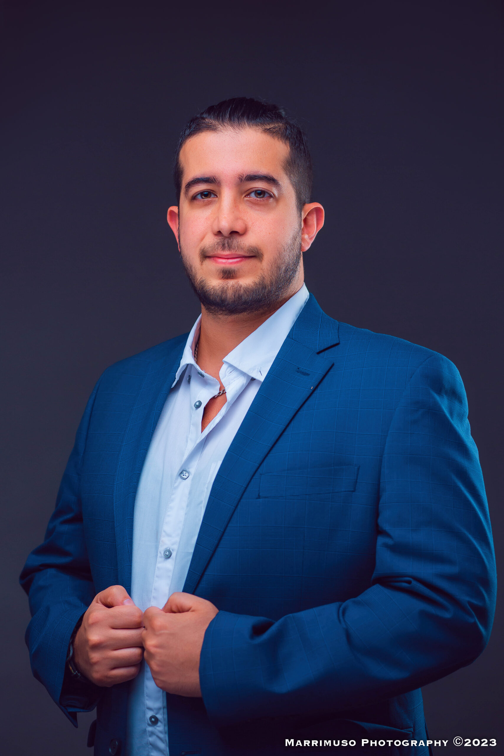
Founder & CEO
Ahmad Hamwi
Ahmad is the founder and architect of RX AI. He leads system architecture, strategic delivery, and the institutional relationships that make Rinato’s work possible, and has run this operating team since 2021, first under Ignitos Space and as Rinato Space since 2024. His background combines software engineering and systems design with the operational discipline required to deploy intelligence layers inside donor-funded and ministry programmes. Across more than a decade he has built ventures spanning business, agriculture and technology in Africa.
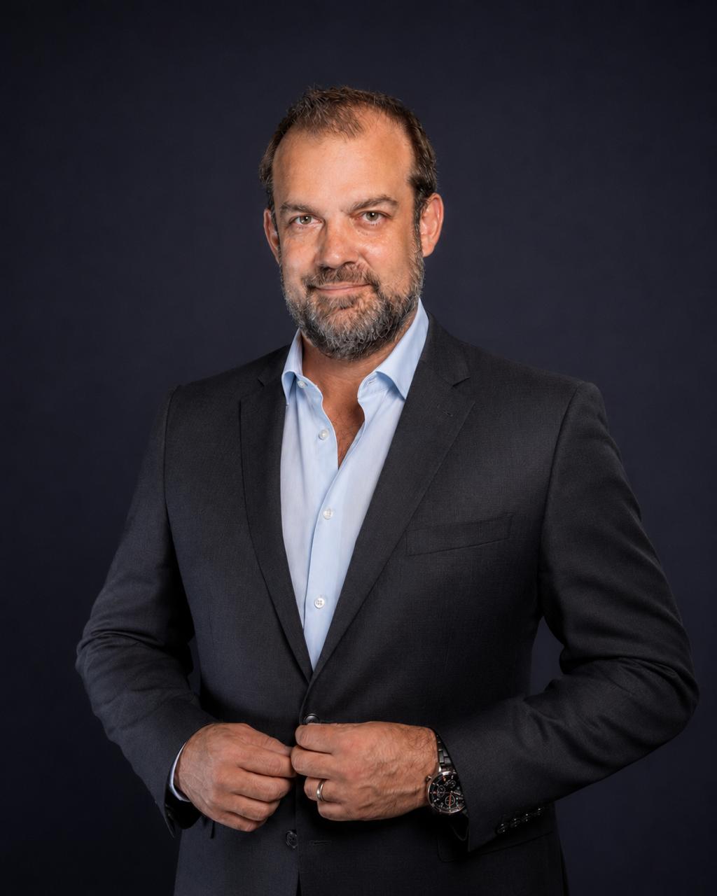
Co-Founder & COO
Sven Buchholz
Sven Buchholz is a German-Zambian entrepreneur with over two decades of experience across Europe, Africa, and Asia, spanning finance, startup-building, and large-scale project delivery. His career bridges private ventures and international development cooperation. As Co-Founder & COO of Rinato Space, he leads operations and finance, building the backbone the company needs to scale from pilot to market.

Advisor, ESG & Sustainability
Adjoa Parker
Adjoa Parker is an international development advisor with more than 20 years in sustainable development and natural resources management across North America, Europe, and southern Africa, in both private and public sectors. She advises Rinato on ESG and sustainability.
Rinato operates with a multidisciplinary team of geospatial analysts, agronomic and ecological domain experts, technical collaborators, research partners, and institutional advisors. The 150+ Zambian youth trained through the WorldVision Youth Innovation Project form a distributed network of operators carrying satellite skills into their communities.
How We Work
Four principles the work runs on
These are not slogans. They are operating constraints we hold ourselves to, and they are how we make decisions when a project pulls us in two directions.
Delivery, not demos
We ship real satellite intelligence work: mapping, analysis, training. Inside real institutional projects. The WorldVision flagship and the SLIM programme are the proof.
Built in Zambia, for institutional reality
Zambian-built is an operating advantage, not a marketing angle. Understanding how ministries and field teams actually work in Zambia is what makes systems get adopted.
Capacity that outlasts projects
The mapping stays. The trained youth stay. The institutional skill stays. Most monitoring projects die when the funding ends. Rinato is built so capability remains in-country.
Designed for outcomes, not just activity
RX AI is designed to report what changed at site level, not just what was done. Outcome reporting is built into the platform’s core workflow. Specific impact percentages will be co-published with partners once verified data is in hand.
What’s Next
Where Rinato shows up next
Three forcing events on the calendar between now and the end of 2026. Each is a chance to put the platform and the work in front of the institutions that should be using it.
AI for Good Global Summit, Geneva
July 2026. Rinato presents RX AI on the Frontier stage at the ITU’s AI for Good Global Summit, putting the platform in front of the institutions and partners shaping AI for development.
WTO Small Business Champions, Geneva
2026. Rinato is recognised as a WTO Small Business Champion for using technology and trade to support smallholder agriculture, with a WTO case study on AI and trade featuring the work.
COP31
October 2026. Carbon MRV, restoration finance, and country-scale monitoring are the wedges. Rinato’s platform is built for auditable evidence at exactly the scale this conversation needs.
Work With Rinato
What brings you here?
Donor or multilateral
Programme-scale evidence for restoration, agriculture, or climate adaptation portfolios. Site-level data ready for funder reporting.
Government or ministry
National monitoring layers configured to existing M&E workflows. Active inside Zambia’s SLIM programme today.
Agribusiness or enterprise
The same satellite intelligence trusted inside Zambian ministries, configured for commercial agriculture. Available and configurable today.
Research partner
If you work on remote sensing, agronomy, or African EO research and there’s a collaboration worth having, we want to hear about it.